project info
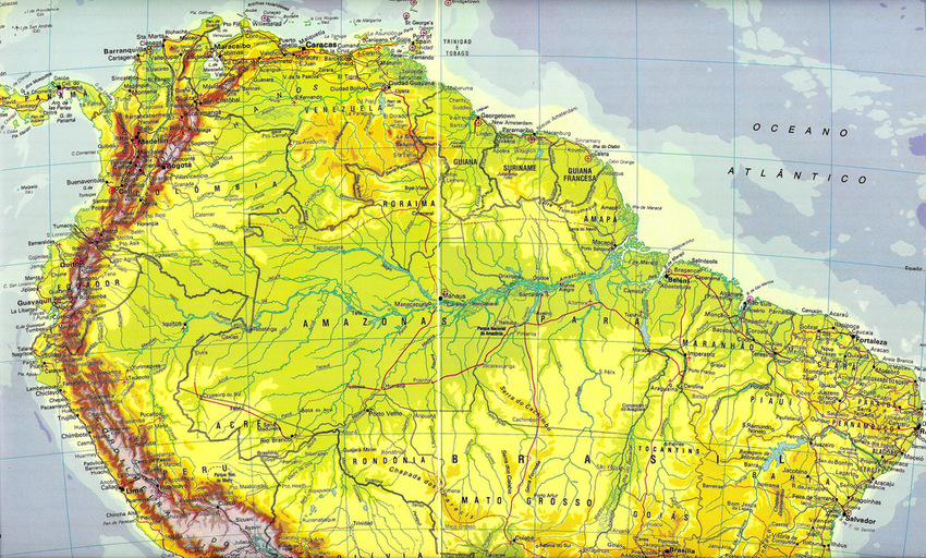
Country: Brazil
Customer: European Community
Beneficiary: Ministry of Agricultural Development
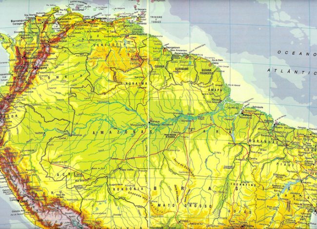
Object: Supply, Installation, Testing and Training for the implementation of the project on support to the policy of land regularization in the Amazon region (Pará, Amazonas, Mato Grosso and Amapa)
description
This partnership was born with the purpose of addressing the issues in the field:
• climate change
• sustainable energy
• fight against poverty
• Mercosur integration process
• development of information and communication technologies (ICT)
• stability and prosperity in Latin America.
Over the years, various summits have been held between the two Institutions that have seen the planning and implementation of several joint action plans to address these issues. Brazil has a rich sector of civil society that plays an important role in consolidating participatory democracy and social control of public policies, creating new alternatives for the promotion of sustainable development and poverty reduction. The EU focuses on supporting actions to strengthen these organizations, ensuring them a meaningful and structured participation in national and international policies.
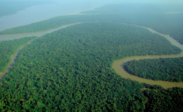
Among these plans the European Community has subsidized the Ministry of Agricultural Development (MDA), which oversees the Center for Agrarian Studies and Rural Development (NEAD) and the National Institute for Colonization and Agrarian Reform (INCRA) for the supply, installation, testing and training for the implementation of the project to support the land regularization policy in the Amazon region (Parà, Amazonas, Mato Grosso and Amapa). In this project Memetech participated by realization of a sophisticated Geospatial system (GIS) for the control and monitoring of the water level of the tributaries of the Amazon River to prevent floods and to better manage the irrigation of new arable land.
The Solution includes:
• Servers, Scanner, Desktop, Routers and Printers
• Geodetic receivers
• Navigation GPS
• Image processing Solution for visualization, exploration, analysis and presentation of data in the area of Remote Sensing/GIS
• Encryption
• Satellite connections
Memetech creates projects that value knowledge and promote innovation to improve the lives of the people who use it.
Memetech, we think outside the box.